Pacific Northwest Seismic Network
Monitoring Earthquake and Volcano Activity in the Pacific NorthwestThe Pacific Northwest Seismic Network (PNSN) is dedicated to reducing the impacts of earthquakes and volcanic eruptions in Washington and Oregon by providing swift and accurate information about earthquakes and ground motion to scientists, engineers, planners, and the public.
The Pacific Northwest Seismic Network reduces the risk of natural disasters in Oregon and Washington by:
Monitoring ground motion to better understand earthquake and volcano hazards and their impacts on the environment, economy, politics, and society.
Providing the most accurate information about earthquakes and volcanoes as rapidly as possible to elected officials, the public, and for education.
Advocating comprehensive and cost-effective measures for reducing the harmful effects of earthquakes and volcanoes to communities in the region.
The PNSN is cooperatively operated by the University of Oregon, the University of Washington, and the U.S. Geological Survey and is headquartered in Seattle. It is one of several regional seismic networks that operate within the U.S. Geological Survey’s Advanced National Seismic System (ANSS). The ANSS provides coordination between the regional networks and provides procedural guidelines and standards.

Learning More About the Pacific Northwest Seismic Network
What types of products and services does the PNSN provide?
The PNSN uses the data from its seismic monitoring stations to provide a variety of products and services to the public. More information about each of these resources can be found on the PNSN website.
Earthquake Monitoring: The PNSN website provides maps and information about recent earthquakes in the Pacific Northwest, as well as a catalog of notable historic earthquakes. The public can also view near real-time and archived ground motion data from each seismic station.
Volcano Monitoring: The PNSN is responsible for the routine seismic monitoring of the Cascade Range volcanoes in Oregon and Washington. Volcanic eruptions are likely to be accompanied by copious seismicity as magma works its way to the surface. Earthquakes are not necessarily a sign of an impending eruption, but together with other observations (deformation, gas emission, temperature changes) provide an important and early clue when eruptions may be approaching. The PNSN coordinates closely with the Cascade Volcano Observatory, which monitors these other parameters as well.
Earthquake Early Warning: Many of the PNSN’s seismic monitoring stations contribute data to the ShakeAlert Earthquake Early Warning System. The ShakeAlert System uses real-time ground motion data to quickly detect significant earthquakes in Washington, Oregon, and California so alerts can reach people and critical infrastructure before strong shaking arrives.
The scientific community can access the PNSN’s public data to inform their research. The PNSN also provides lab tours and earthquake science educational resources to schools, including FAQs and hazard maps and scenarios.
How does the PNSN interface with the ShakeAlert® Earthquake Early Warning System?
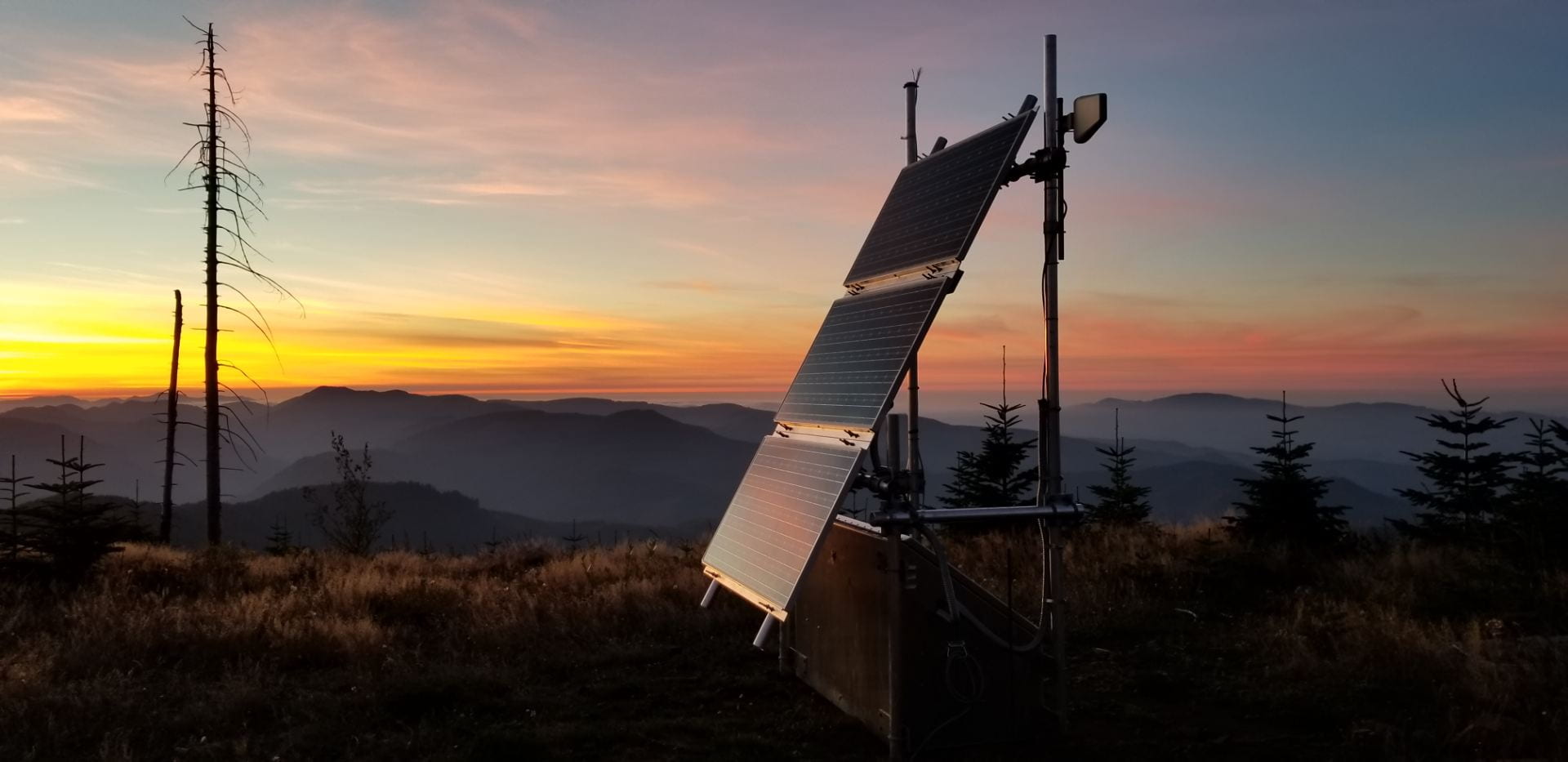
Many PNSN stations provide data for the ShakeAlert Earthquake Early Warning System. They continuously send real-time ground motion data to ShakeAlert processing centers, which use algorithms to interpret the data and determine if an earthquake is occurring. Having a dense network of ShakeAlert seismic stations is critical to quickly, accurately, and reliably providing earthquake early warning alerts.
Not all PNSN stations contribute to the ShakeAlert System. Some PNSN stations solely measure seismic activity around volcanoes, for example. Other stations are not able to transmit data quickly enough to contribute to early warning. Additionally, in areas with especially dense station coverage, the PNSN has chosen select sites to contribute data to the ShakeAlert System.
In total, over 560 PNSN stations will be part of the ShakeAlert System. Field technicians at the University of Oregon and the University of Washington continue to install stations to meet this goal. As of January 2024, 544 stations in the PNSN are part of the ShakeAlert network, including 209 in Oregon and 335 in Washington. Station buildout is expected to be complete by early 2025.
How many seismic monitoring stations are part of the PNSN?
Beginning in 1969 with five seismometers, the Pacific Northwest Seismic Network has grown to include over 700 seismic stations and is now the second largest seismic network in the United States. Many of these stations contribute real-time ground motion data to the ShakeAlert Earthquake Early Warning System. The PNSN continues to add new stations to the network to improve ShakeAlert earthquake detection speed and accuracy. As we finalize buildout, we are transitioning to planning the network’s long-term operations and maintenance needs. Visit the PNSN’s Interactive Station Map to view all seismic monitoring stations in the Pacific Northwest.
Who are our partners in operating the PNSN?
The University of Washington, the University of Oregon, and the U.S. Geological Survey cooperatively operate the PNSN. The Oregon Hazards Lab is primarily responsible for installing, maintaining, and monitoring the seismic stations and sensors within Oregon, while the University of Washington performs this role in Washington. Scientists at the University of Washington and the U.S. Geological Survey work together to interpret the data received from seismic stations, such as confirming earthquake epicenters and magnitude. Our other partners include the State of Oregon, the State of Washington, and the U.S. Department of Energy.
What types of seismometers does the PNSN use?
The PNSN operates a diverse range of seismometers in order to monitor a variety of types of earthquake activity. The operations of seismographs are funded by different agencies and serve a variety of purposes.
- Short Period Seismometers. These sensitive seismometers are used to determine the locations and magnitudes of small regional earthquakes.
- Strong Motion Seismometers. These seismometers are designed to record data from moderate and large regional earthquakes that give rise to strong shaking.
- Broadband Seismometers. These seismometers are primarily used to record waveforms from regional and distant earthquakes for research purposes.
